Pages

Thursday, April 18, 2013

Miharu's Takizakura - Fukushima's pride

It is a well known fact that Cherry Blossom is Japan's pride. Though Japan does not have an official National Flower, most Japanese would like to believe that Sakura, as Cherry Blossom is known in Japan, is the national flower of Japan. The Sakura is also depicted on the rear of the100 yen coin. Cherry blossom is so important to the nation that each year, the meteorological agency releases a blossom forecast much in advance so that people can plan their spring vacations, trips and hanami parties in advance. Local news broadcasts also give daily updates about status of blossoms in surrounding areas to. No wonder then that Japan has its list of top Cherry Blossom viewing spots and Cherry Blossom trees
Each year thousands of locals and visitors to Japan, make their annual "Hanami" pilgrimages to these spots.  

Fukushima prefecture has one such reputed Cherry Blossom spot - the waterfall cherry blossom tree in Miharu town, locally known as Miharu no Taki zakura.
 At 12 meters high and with a circumference of 9.5 metres, the Takizakura finds a place among Japan's top 5 giant cherry trees. 
The tree is an ancient tree and is believed to be over 1000 years old. The tree was designated a national treasure in 1922. 

The tree is a symbol of pride for the people of Miharu which is otherwise a small farming community. In 2005 when the tree suffered damage to its branches due to heavy snowfall, villagers toiled hard to clear out the snow to avoid extensive damage. The tree escaped any damage during the Great East Japan earthquake of 2011.  

The tree is 12 metres high, the trunk circumference is 9.5 metres, the east-west spread is 22 metres, and the north-south spread is 18 metres. 


The Takizakura flowers in mid to late April, and its light pink flowers spread in all directions from the branches, like a waterfall. 
The tree is even lit up at nights during peak blossom period. 


An estimated 300,000 people visit it each year during the flowering period which lasts approximately a week. Please check exact flowering dates as it tends to change each year.  

Miharu is a short drive south of Koriyama city.  Train ride from JR Koriyama station to JR Miharu stations takes about 15 minutes on JR Banetsu line. Shuttle buses are available from JR Miharu station during the Blossom period. Traffic congestion can be expected on roads leading to the Takizakura during this period.    

Useful links : http://miharukoma.com/ (Japanese only)

Entrance fees: Adults : 300 yen (during blossom season)  
                     Students (junior high school and younger) : free

Access: 296, Sakurakubo, Takiaza, Miharu-machi, Tamura gun, Fukushima prefecture 

Phone: 0247-62-3960

Thursday, February 07, 2013

Sakura Forecast

My first post of 2013.

It is still winter in most of Japan, barring Okinawa islands perhaps. The just concluded festival of  Setsubun (February 3rd) marks the end of winter as per Japanese traditional calendar. However barring a few days of sunshine, it has been a mix of snow, winds and rain for most of Japan.

It is again that time of the year when most of us in Japan are looking forward to spring. Spring brings with it pleasant weather and the beautiful blossoms. Japan's cherry blossom season, locally known as Sakura season,is the popular and is also the peak tourist season. Who would not want to enjoy these beautiful cherry blossoms while visiting the country !
The beauty of the season is such that even the Japanese who have viewed the cherry blossoms their entire life are so excited to see the cherry blossoms ! It is the season for Hanami outings and parties - the way to celebrate the Sakura. Sakura is already in bloom in the southernmost Okinawa islands, while mainland Japan has to wait for another month and a half before Sakura season arrives

The initial forecasts by the Japan Weather Association for the Cherry blossom blooming time are out. 
 Cherry blossom front (forecast)

Source : Japan Weather Association

For more detailed forecasts check out this link
http://season.tenki.jp/season/sakura/expectation

Enjoy planning your hanami outings and parties ! 


Tuesday, October 02, 2012

Fuji Q Highland


Fuji Q highland is an amusement park located at the base of Mt Fuji in Fujiyoshida city, Yamanashi prefecture. The park is home to many roller coasters and thrilling rides and as such is counted amongst one of the most popular theme parks in Japan.
Fujiyama, at 79 meters high and a speed of 130 km/h is the park’s tallest roller coaster. 
Having opened in 1996, it was once the world’s tallest roller coaster.


It is still one of world’s tallest, fastest and longest roller coasters.

Eejanaika, at 76 meters high is a relatively new attraction having opened only in 2006. It is the second 4D roller coaster to be built in this world after X2 in California’s Six Flags Magic Mountain  but is higher and faster than X2. It’s seats can rotate 360 degrees forward or backward in a controlled spin.

Dodonpa, at 52 meters high opened in 2001 and has a speed of 172 km/h. 
It was once the world’s fastest roller coaster.

Takabisha, is the newest roller coaster in Fuji Q and opened in July 2011. 
It is the world’s steepest roller coaster, certified by the Guiness Book of World records at the time of opening.


It has a drop of 43 meters, speed of 100 km/h a freefall of 121 degrees and seven major twists and dark tunnels on its 1000 meter long track.

 The tracks look scary even when viewed from ground level!

Some other thrilling rides in the park are 
Tekkotsu Bancho


Tondemina,

Nagashimasuka, 

Great Zaboon

 Panic Clock


Mad Mouse
Most of the thriller rides and roller coasters have height restrictions and other restrictions regarding age and health. 


Thomas Land is a children’s amusement park area designed after Thomas the Tank engine theme. Most visitors seem to find this the most fun area in the park !
 Japan’s highest mountain forms a picturesque backdrop to most of the roller coaster rides in the theme park.


Access: 5-6-1 Shin-Nishihara. Fujiyoshida, Yamanashi Prefecture 403-0017 Japan

(The pictures in this post were taken by a friend during a recent visit to Fuji Q Highland. I am thankful to my friend for sharing these pics and experience with me and allowing me to use these for my blog.)

Friday, September 28, 2012

Fujiyoshida Sengen Shrine

On our way from Lake Yamanaka to Lake Kawaguchi, we stopped by the Fujiyoshida Sengen shrine.

The Fujiyoshida Sengen shrine is dedicated to Konohanasakuyahime, the Shinto deity associated with Mt Fuji. The formal name of the shrine is Kitaguchi Hongu Sengen Jinja which means North Entrance Sengen Main Shrine and the name derives from the fact that this is the Main Sengen shrine on the north side of the shrine. There are more than 1000 Sengen shrines dedicated to Mt Fuji across Japan, but the main deity of Mt Fuji is believed to be enshrined in the Fujiyoshida Sengen shrine. 
The shrine served as the focal point of Mt Fuji worship during the Edo period.

Traditionally, climbers would begin their Mt Fuji ascent after praying at the Fujiyoshida Sengen Shrine. The old trail begins from behind the Shrine’s main hall. A wooden trail behind the shrine marks the beginning of the traditional trail. 
Even to this day, few climbers, mostly those undertaking the climb as a pilgrimage begin their climb after offering prayers at the shrine. However, most climbers prefer to begin their ascent from one of the several 5th stations of Mt Fuji, Kawaguchiko 5th station being the most popular starting point. It is said that if the climb is begun from the Fujiyoshida Sengen shrine, it takes about 8-10 hours to reach the summit.

The shrine is surrounded by a dense pine and cedar forest. 
The path leading to the shrine is lined by stone lanterns on either side.

The large wooden torii gate of the Sengen shrine is over 18 m high and is counted amongst one of the largest wooden gates in Japan. 
According to tradition, the torii is rebuilt slightly larger, every six decades. Near the top of the Torii, a signboard reads "Sangoko Daiichizan", which translates to the highest mountain among three countries- Japan, India and China.

The shrine buildings are painted in red, as in most other Shinto shrines.

The main hall dates back to 1615 and the altar is decorated in ornamental style.  
Many murals and wooden masks adorn the walls and ceilings of the shrine. 
Three of the original cedar trees are believed to have survived over the centuries and these are adorned by the holy rope.

Fuji Five Lakes

Mount Fuji needs no introduction. It has always been a symbol of Japan till this day remains on every tourist’s list of must visit places in Japan. Mount Fuji’s near perfect conical shape is the result of its multiple eruptions and lava flows.

Mount Fuji’s multiple eruptions have also resulted in the formation of the Fuji Five Lakes, also known as Fuji-go-ko. Fuji Five Lakes is the area located around the base of Mt Fuji’s northern half and is located in Yamanashi Prefecture. In recent years, Fuji Five Lakes which form part of  the Fuji-Hakone Izu National Park, has become a much visited tourist attraction. The lava flows from Mt Fuji’s eruptions dammed rivers and resulted in the formation of these five lakes. All of the lakes are considered to be excellent fishing spots and have been developed into tourist spots atleast to some extent.

The Five Lakes that form part of Fujigoko are Lake Kawaguchi, Lake Yamanaka, Lake Saiko, Lake Motosu and Lake Shoji. All lakes also provide good views of Mt Fuji, on days when the sky is clear and weather is good. Spring and Autumn when the flora and foliage are at their best and most colourful are preferred seasons for visiting Fuji Five Lakes.

On our recent trip to the Fuji-Hakone area, we visited two of these lakes- Lake Yamanaka and Lake Kawaguchi. Our first stop was Lake Yamanaka. Yamanaka-ko as the lake is also known is the easternmost and largest of the five lakes. 
 Located at an altitude of 980 metres above sea level, it is also the third highest lake in Japan. The lake has a circumference of 13 kms and offers good views of Mt Fuji from its northern shore on clear days. 
However on the day of our visit, the sky was cloudy and as such we could not see even the slightest trace of Mt Fuji. 
Yamanaka ko is popular among visitors for Boating, fishing and other water sports and ranks as the second most developed of the five lakes behind Lake Kawaguchi.
In recent years Yamanaka ko is emerging as the most popular of the Fuji Five Lakes.

After visiting Lake Yamanaka, we drove up further to Lake Kawaguchi. On the way to Lake Kawaguchi, we briefly stopped at the Fujiyoshida Sengen shrine.

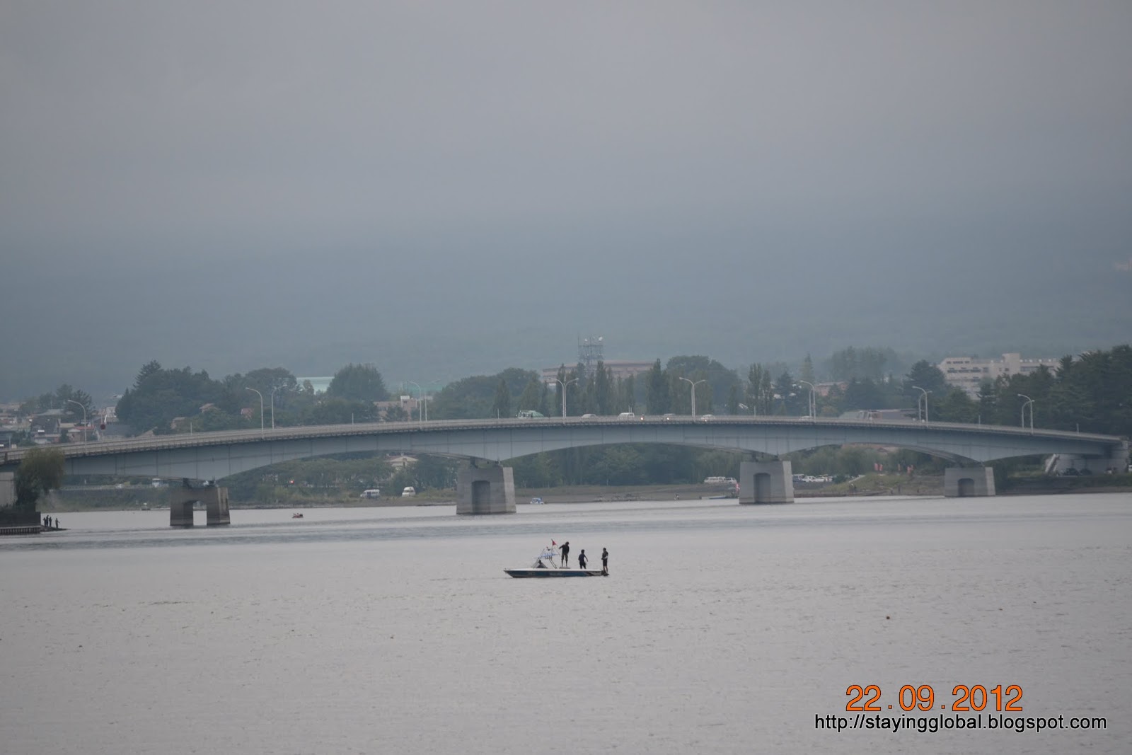
Lake Kawaguchi also known as Kawaguchi ko, is the most popular of the Fuji Five Lakes. This lake also has a circumference of 13 kms and this too offers good and unobstructed views of Mt Fuji on clear weather days and is a photographer’s delight. Most images and calendar pictures of Mt Fuji forming the backdrop of a lake are said to be taken from one of the shores of Kawaguchi-ko. 
Unfortunately we visited the lake on a cloudy day and as such we could not view Mt Fuji. Kawaguchi is the only lake amongst the Fuji Five Lakes to have an island.
 Kawaguchi ko is the most developed of the five lakes and there is no dearth of hotels and other accommodation in Kawaguchi town which has turned to a popular holiday resort.
Visitors can indulge in various water sports at Lake Kawaguchi. The Subaru toll road which leads up to Kawaguchi ko 5th Station begins from close to the Kawaguchi IC. Kawaguchiko 5th station serves as a starting point for climbing Mt Fuji.

Lake Saiko, also known as Saiko-ko is located just about 1 km to the west of Lake Kawaguchi and thus is also called the Western Lake. The western side of Lake Saiko shares its banks with the Aokigahara Jukai forest. The lake has a circumference of 10.5 kilometers but the lake is not much developed. However, there are many camp sites located along the lake’s shores.

Lake Shoji, also called Shoji-ko, is the smallest of the five lakes wth a circumference of 2.5 kms. Rocks jutting out of the lake are remnants of lava flow and these days used by locals fishing in the lake’s water. Fishing and boating are popular outdoor activities at Lake Shoji.

The last of the five lakes is Lake Motosu, which at 140 meters, is the ninth deepest lake of Japan. Motosu lake along with Lake Saiko and Lake Shoji was formed by lava flowing through the area which is now Aokigahara Jukai Forest. The lava separated a large prehistoric lake in the area thus resulting in the formation of the three lakes. These three lakes are still connected by means of underground waterways and are also said to maintain the same surface level of 900 meters above sea level. The lake has a circumference of 13 kms .The picture of Mt Fuji on the 1000 yen note is said to be a depiction of the view of Mt Fuji from near Lake Motosu. The shores are not much developed barring few camping grounds.

The Aokigahara Jukai Forest is an expansive forest south of Lake Saiko which has a network of hiking trails and is reputed to be easy to get lost in. This area is also infamous as a suicide spot. Past lava flows have also resulted in the formation of several caves around the Aokigahara Jukai Forest. Three of the lakes – Ice Cave, Wind Cave and Bat Cave have become popular tourist destinations.

The main city in the Fuji Five Lakes area is Fujiyoshida city, which is also popular for the Fuji Q Highland. Kawaguchiko area also has a variety of museums like the Yamanashi Gem museum, Kawaguchiko Music forest, Kawaguchiko Museum of Art etc. Udon noodles are a popular delicacy from the region.